Investigating our Local Area
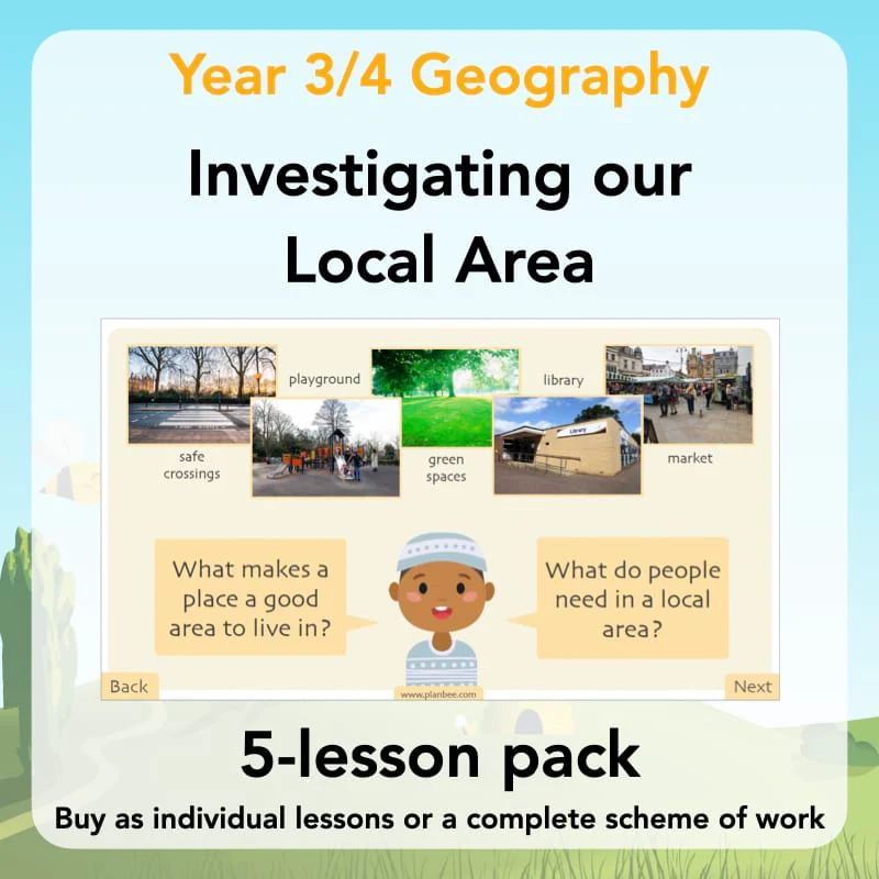
This five-lesson ‘Investigating our Local Area’ scheme introduces pupils to the location of their local area within the UK before exploring its human and physical features. Children develop their geographical skills by using maps, keys, symbols and compass directions to investigate their surroundings, and learn about different types of land use, including residential, commercial and recreational. Through fieldwork and map-based activities, pupils observe and record features of their local area, before applying their understanding to suggest and explain ways places can be improved.
This ready-to-teach KS2 Geography pack includes detailed plans, engaging and informative PDF slides for the teaching input, differentiated activity ideas and printable resources to support your class during their independent work.
A Knowledge Organiser is available to support the learning in this scheme. It is included in the Complete Series download or can be purchased individually.
Lesson 1: Locating our Local Area
In this first lesson, children locate their local area within the United Kingdom using maps, globes and atlases. They identify the four countries of the UK and learn how their local area fits within larger geographical locations such as county and country.
They apply this knowledge in their independent activities by locating and describing their local area and identifying human and physical features nearby.
Included with this Local Area KS2 lesson pack is an easy-to-follow plan, a set of engaging PDF slides for the teaching input, differentiated activity ideas and printable resources.
What's included:
- Lesson plan
- Slides
- Activity ideas
- Local Area Fact Sheets
- Where in the World is our Local Area? Booklet
Lesson 2: Symbols, Keys and Compass Directions
In this lesson, children learn how geographers use symbols, map keys and compass directions to read maps. They explore how symbols represent different features and practise identifying human and physical features on a map.
Children apply this knowledge in their independent activities by investigating a map of the local area and describing where features are located using compass directions.
A detailed plan, a set of informative PDF slides, differentiated activity ideas and engaging, printable resources are all included with this KS2 Geography pack.
What's included:
- Lesson plan
- Slides
- Activity ideas
- Teacher Notes
- Differentiated worksheets
- Challange Card
- Grid Paper
Lesson 3: Types of Land Use
In this lesson, children investigate different types of land use in a local area. They learn how human and physical features can influence how land is used in different places.
In their independent activities, children apply this knowledge by exploring a local area using Google Maps and identifying and explaining different examples of land use.
This downloadable KS2 Land Use Geography pack includes informative PDF slides, differentiated activity ideas, printable resources, and of course, an easy-to-follow lesson plan.
What's included:
- Lesson plan
- Slides
- Activity ideas
- Types of Land Use Cards
- Differentiated worksheets
- Land Use Photo Investigation Sheet
- Land use Photograph Cards
Lesson 4: Fieldwork
In this lesson, children learn how geographers carry out fieldwork by observing and recording features in their local area. They identify different types of land use and recognise human and physical features in real-life contexts.
Children apply this knowledge in their independent activities by exploring their local area, collecting data and explaining how places are used and why.
This Fieldwork KS2 Geography lesson pack includes an easy-to-follow plan, a set of engaging PDF slides for the teaching input, differentiated activity ideas and printable resources.
What's included:
- Lesson plan
- Slides
- Activity ideas
- Our Local Area Land Use Surveys
- Discussion Questions Prompt Sheet
- Land Use Hunt Sheets
Lesson 5: Improving our Local Area
In this final lesson, children learn how geographers think about improving places to better meet people’s needs. They consider what makes a place a good place to live and explore different ways local areas can be developed.
In their independent activities, children apply this knowledge by suggesting and explaining improvements to a place in their local area and evaluating which ideas would be most effective.
A detailed plan, a set of informative PDF slides, differentiated activity ideas and engaging, printable resources are all included with this KS2 Geography pack.
What's included:
- Lesson plan
- Slides
- Activity ideas
- Improving our Local Area Sheets
- Geographer's Decision Cards
- Geographer's Decision Game Instructions
This five-lesson ‘Investigating our Local Area’ scheme introduces pupils to the location of their local area within the UK before exploring its human and physical features. Children develop their geographical skills by using maps, keys, symbols and compass directions to investigate their surroundings, and learn about different types of land use, including residential, commercial and recreational. Through fieldwork and map-based activities, pupils observe and record features of their local area, before applying their understanding to suggest and explain ways places can be improved.
This ready-to-teach KS2 Geography pack includes detailed plans, engaging and informative PDF slides for the teaching input, differentiated activity ideas and printable resources to support your class during their independent work.
A Knowledge Organiser is available to support the learning in this scheme. It is included in the Complete Series download or can be purchased individually.
Lesson 1: Locating our Local Area
In this first lesson, children locate their local area within the United Kingdom using maps, globes and atlases. They identify the four countries of the UK and learn how their local area fits within larger geographical locations such as county and country.
They apply this knowledge in their independent activities by locating and describing their local area and identifying human and physical features nearby.
Included with this Local Area KS2 lesson pack is an easy-to-follow plan, a set of engaging PDF slides for the teaching input, differentiated activity ideas and printable resources.
What's included:
- Lesson plan
- Slides
- Activity ideas
- Local Area Fact Sheets
- Where in the World is our Local Area? Booklet
Lesson 2: Symbols, Keys and Compass Directions
In this lesson, children learn how geographers use symbols, map keys and compass directions to read maps. They explore how symbols represent different features and practise identifying human and physical features on a map.
Children apply this knowledge in their independent activities by investigating a map of the local area and describing where features are located using compass directions.
A detailed plan, a set of informative PDF slides, differentiated activity ideas and engaging, printable resources are all included with this KS2 Geography pack.
What's included:
- Lesson plan
- Slides
- Activity ideas
- Teacher Notes
- Differentiated worksheets
- Challange Card
- Grid Paper
Lesson 3: Types of Land Use
In this lesson, children investigate different types of land use in a local area. They learn how human and physical features can influence how land is used in different places.
In their independent activities, children apply this knowledge by exploring a local area using Google Maps and identifying and explaining different examples of land use.
This downloadable KS2 Land Use Geography pack includes informative PDF slides, differentiated activity ideas, printable resources, and of course, an easy-to-follow lesson plan.
What's included:
- Lesson plan
- Slides
- Activity ideas
- Types of Land Use Cards
- Differentiated worksheets
- Land Use Photo Investigation Sheet
- Land use Photograph Cards
Lesson 4: Fieldwork
In this lesson, children learn how geographers carry out fieldwork by observing and recording features in their local area. They identify different types of land use and recognise human and physical features in real-life contexts.
Children apply this knowledge in their independent activities by exploring their local area, collecting data and explaining how places are used and why.
This Fieldwork KS2 Geography lesson pack includes an easy-to-follow plan, a set of engaging PDF slides for the teaching input, differentiated activity ideas and printable resources.
What's included:
- Lesson plan
- Slides
- Activity ideas
- Our Local Area Land Use Surveys
- Discussion Questions Prompt Sheet
- Land Use Hunt Sheets
Lesson 5: Improving our Local Area
In this final lesson, children learn how geographers think about improving places to better meet people’s needs. They consider what makes a place a good place to live and explore different ways local areas can be developed.
In their independent activities, children apply this knowledge by suggesting and explaining improvements to a place in their local area and evaluating which ideas would be most effective.
A detailed plan, a set of informative PDF slides, differentiated activity ideas and engaging, printable resources are all included with this KS2 Geography pack.
What's included:
- Lesson plan
- Slides
- Activity ideas
- Improving our Local Area Sheets
- Geographer's Decision Cards
- Geographer's Decision Game Instructions
Original: $2.68
-65%$2.68
$0.94Description
This five-lesson ‘Investigating our Local Area’ scheme introduces pupils to the location of their local area within the UK before exploring its human and physical features. Children develop their geographical skills by using maps, keys, symbols and compass directions to investigate their surroundings, and learn about different types of land use, including residential, commercial and recreational. Through fieldwork and map-based activities, pupils observe and record features of their local area, before applying their understanding to suggest and explain ways places can be improved.
This ready-to-teach KS2 Geography pack includes detailed plans, engaging and informative PDF slides for the teaching input, differentiated activity ideas and printable resources to support your class during their independent work.
A Knowledge Organiser is available to support the learning in this scheme. It is included in the Complete Series download or can be purchased individually.
Lesson 1: Locating our Local Area
In this first lesson, children locate their local area within the United Kingdom using maps, globes and atlases. They identify the four countries of the UK and learn how their local area fits within larger geographical locations such as county and country.
They apply this knowledge in their independent activities by locating and describing their local area and identifying human and physical features nearby.
Included with this Local Area KS2 lesson pack is an easy-to-follow plan, a set of engaging PDF slides for the teaching input, differentiated activity ideas and printable resources.
What's included:
- Lesson plan
- Slides
- Activity ideas
- Local Area Fact Sheets
- Where in the World is our Local Area? Booklet
Lesson 2: Symbols, Keys and Compass Directions
In this lesson, children learn how geographers use symbols, map keys and compass directions to read maps. They explore how symbols represent different features and practise identifying human and physical features on a map.
Children apply this knowledge in their independent activities by investigating a map of the local area and describing where features are located using compass directions.
A detailed plan, a set of informative PDF slides, differentiated activity ideas and engaging, printable resources are all included with this KS2 Geography pack.
What's included:
- Lesson plan
- Slides
- Activity ideas
- Teacher Notes
- Differentiated worksheets
- Challange Card
- Grid Paper
Lesson 3: Types of Land Use
In this lesson, children investigate different types of land use in a local area. They learn how human and physical features can influence how land is used in different places.
In their independent activities, children apply this knowledge by exploring a local area using Google Maps and identifying and explaining different examples of land use.
This downloadable KS2 Land Use Geography pack includes informative PDF slides, differentiated activity ideas, printable resources, and of course, an easy-to-follow lesson plan.
What's included:
- Lesson plan
- Slides
- Activity ideas
- Types of Land Use Cards
- Differentiated worksheets
- Land Use Photo Investigation Sheet
- Land use Photograph Cards
Lesson 4: Fieldwork
In this lesson, children learn how geographers carry out fieldwork by observing and recording features in their local area. They identify different types of land use and recognise human and physical features in real-life contexts.
Children apply this knowledge in their independent activities by exploring their local area, collecting data and explaining how places are used and why.
This Fieldwork KS2 Geography lesson pack includes an easy-to-follow plan, a set of engaging PDF slides for the teaching input, differentiated activity ideas and printable resources.
What's included:
- Lesson plan
- Slides
- Activity ideas
- Our Local Area Land Use Surveys
- Discussion Questions Prompt Sheet
- Land Use Hunt Sheets
Lesson 5: Improving our Local Area
In this final lesson, children learn how geographers think about improving places to better meet people’s needs. They consider what makes a place a good place to live and explore different ways local areas can be developed.
In their independent activities, children apply this knowledge by suggesting and explaining improvements to a place in their local area and evaluating which ideas would be most effective.
A detailed plan, a set of informative PDF slides, differentiated activity ideas and engaging, printable resources are all included with this KS2 Geography pack.
What's included:
- Lesson plan
- Slides
- Activity ideas
- Improving our Local Area Sheets
- Geographer's Decision Cards
- Geographer's Decision Game Instructions